Land Administration Domain Model
GeoConnexion: LADM: THE NEXT PHASE
Eight years after its launch, many countries are using the Land
Administration Domain Model to develop land administration systems.
Christiaan Lemmen, Peter van Oosterom
and Eftychia Kalogianni report on the
implementations So far – as well as what to expect from the next
version. Read the
full Geoconnexion article
Official ISO Standard
After several years of intensive work, on 1 November 2012 the 'Land
Administration Domain Model (LADM)' was approved as an official
International ISO Standard. This is a milestone in the development of
land administration systems.The proposal for this standard was submitted
by FIG to ISO almost five years ago.
This is a milestone in the development of land administration systems
75% of the “people to land relationships” worldwide are not documented.
This concerns about 4.5 billion cases. With a growing population this
situation results in land disputes, land grabbing and neglecting of rights
of local people. There is an urgent need worldwide for proper land
administration systems and standards in land information. In the developed
world standards are needed for information exchange, see for example the
INSPIRE development in the European Union.
Standards are needed in land administration, both for initial data
acquisition and for data maintenance and information exchange.
Experience learns that it is not an easy task to design and set up a land
administration. In many countries modelling expertise is lacking when
setting up land administration systems. It should be noted that those
systems contain high volumes of data.
LADM is a common standard for the land administration domain. It will
stimulate the development of software applications and will accelerate the
implementation of proper land administration systems that will support
sustainable development.
The LADM covers basic information-related components of land administration
(including those over water and land, and elements above and below the
surface of the earth);
The standard provides an abstract, conceptual model with four packages
related to:
- parties (people and organizations);
- basic administrative units, rights, responsibilities, and
restrictions (ownership rights);
- spatial units (parcels, and the legal space of buildings and utility
networks);
- spatial sources (surveying), and spatial representations (geometry
and topology);
LADM defines terminology for land administration, based on various
national and international systems that is as simple as possible in order to
be useful in practice. The terminology allows a shared description of
different formal or informal practices and procedures in various
jurisdictions; The standard further provides a basis for national and
regional profiles; and enables the combining of land administration
information from different sources in a co herent manner.
LADM can integrate different forms of tenure; e.g. formal and customary
types of tenure. Or even informal tenure or overlapping claims on land.
There is already recognition and support by FAO, UN HABITAT and several
countries.
LADM based software developments have already been started in several
places.
There is of course no interference with (national) land administration laws
that would have any legal implications.
The LADM has been accepted by a unanimous vote from the participating ISO
TC211 members.
At this moment the (very last) editorial updates are under process. The
publication will be available very soon.
We like to thank the editorial committee for there support and
contributions.
Christiaan Lemmen
Harry Uitermark
Peter van Oosterom
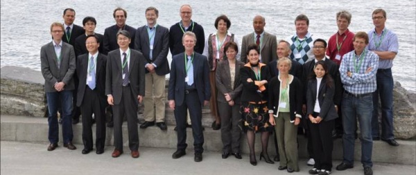
Editorial Committee of the ISO 19152 (photo:
Bjørnhild Sæterøy)
- Article by Christiaan Lemmen, Peter van Oosterom and Paul van
der Molen (The Netherlands):
Standards for new approaches, Geospatial World, June 2013
|