Anniversary: 150 Years of International Cooperation in
Geodesy - ACSM Annual Conference
21 – 24 July 2012, Manchester Grand Hyatt San Diego, United
States
American Congress of Surveying and Mapping Looks Ahead
This year’s American Congress of Survey and Mapping (ACSM) Annual
Conference is also the ESRI Survey Summit, organised by and co-located
within ESRI’s Annual User Conference at the San Diego Convention Centre,
California. The ESRI User Conference annually attracts a huge number of
participants and this year is no different, approximately 15,000
participants from all over.
As for ACSM’s Annual Conference, ACSM’s members from across the country
gathered together with a few participants from overseas to consider various
aspects within the professional landscape in the United States. The FIG
President attended the Annual Conference and was joined by the President of
the FIG Foundation, John Hohol, who himself is a member of ACSM.
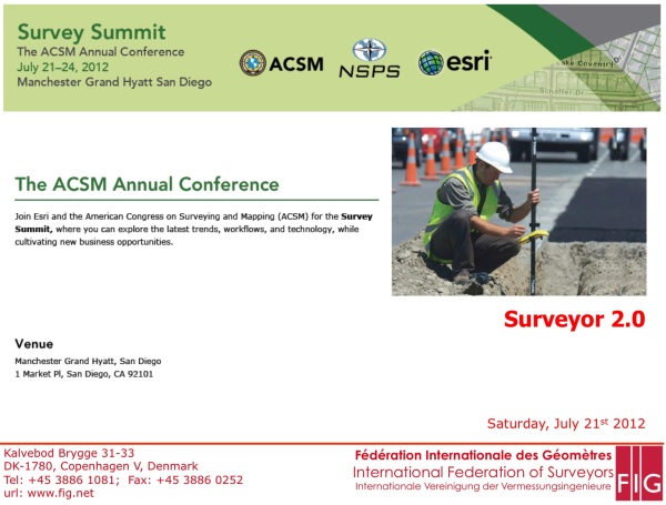
FIG President made a presentation on “Surveyor 2.0” at the Plenary
Session of the Annual Conference. He continued the discussion of this topic
that began with a presentation by Dr. Christiaan Lemmen, of similar title,
at the 2012 World Bank Land and Poverty Conference in April this year. The
Director of the FIG International Office of Cadastre and Land Records
presentation in April was the result of collaborative efforts of a number of
individuals and officers of FIG Commission 7 (Cadastre and Land Management).
The Plenary Session of ACSM Annual Conference on 21st July 2012, included
presentations from ESRI (FIG Platinum Corporate Member), National Oceanic
and Atmospheric Administration, Bureau of Land Management (FIG Affiliate
Member), National Geodetic Survey, Fish & Wildlife Service, National Society
of Professional Surveyors as well as from Hawkeye UAV, Frontier Surveying
and CyArk who is applying spatial technologies in heritage conservation
efforts,
In his presentation, the FIG President opined that Surveyor 2.0 leverages
on its knowledge derived from information that comes from the data
collected, works with data and information from various scales and sources,
contributing towards evidence-based and sustainable decisions and actions.
Surveyor 2.0 knows how to develop, innovate and apply technology and stays
informed of the current economic realities. Surveyor 2.0 is in the business
of providing clarity, confidence and certainty through its measurement,
modeling and management of its data and information.
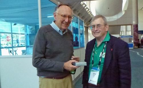
Jack Dangermond, President ESRI with John Hohol [right], President FIG
Foundation
During the ESRI User Conference, John Hohol was able to meet up with Jack
Dangermond, President of ESRI, to express FIG’s appreciation for ESRI’s
continued support for both FIG and the FIG Foundation.
CheeHai TEO
August 2012
|