Report of the Seventeenth United Nations Regional
Cartographic Conference for Asia & the Pacific (UNRCC-AP)
18 – 22 September 2006, United Nations Headquarters, Bangkok, Thailand
 |
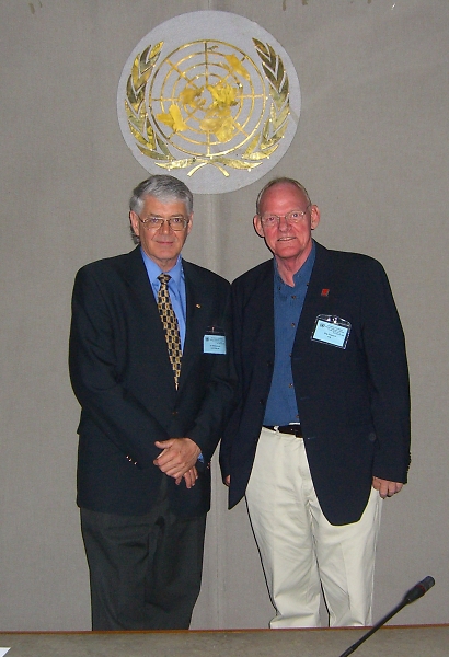
Vice Pesident Stig Enemark, President
Peter
Holland, PCGIAP and Mr. Amor Laaribi from UN. |
Vice-President Stig Enemark represented FIG at the Seventeenth
United Nations Cartographic Conference for Asia & the Pacific (UNRCC-AP)
held in Bangkok 18-22 September 2006. The conference is convened every three
years (since 1955) the last one being held in Okinawa, Japan, July 2003.
The conference is organized by the UN Statistics Division in Bangkok at
the Economic and Social Commission for Asia and the Pacific (ESCAP). The
conference provides a regional forum where approximately 200 participants
(mostly heads of Mapping Agencies and Land Surveys and experts from Asia and
the Pacific and other regions, as well as representatives from International
and Specialized Organizations and NGO´s) meet to address the common needs,
problems and experiences in the field of surveying and mapping, cartography,
remote sensing, land and geographical information systems, including spatial
data infrastructure institutional, economic and capacity building issues.
The conference was chaired by the President of PCGIAP Mr. Peter
Holland from Australia. The overall theme was “Geo-Information
Integration for Disaster Management and Sustainable Development ion the
Context of the Millennium Development Goals”. The conference attracted
about 200 participants from about 30 countries. About 20 country reports
were tabled and around 50 invited papers were presented. The program and
proceedings of the conference is available on line at:
http://unstats.un.org/unsd/geoinfo/17thunrccapdocuments.htm.
Mr. Craig Williams from the Office for the Coordination
Humanitarian Affairs (OCHA) presented a very interesting keynote on “Data
Preparedness and Emergency Response: No good decisions without good
information” (IP.1 in the proceedings).
Stig Enemark presented a FIG position paper on “Supporting
Institutional Development in Land Administration” (IP.3). The paper
presents the FIG approach in this area including a presentation of the
outcome of the Special Forum on the Development of Land Information Policies
in the Americas. The FIG publication “Aguascalientes Statement”
www.fig.net/pub/figpub/pub34/figpub34.htm was also tabled as a result of
resolution adopted at the UNRCC-AP held in 2003. The paper as well as the
Statement was very well received.
Prof. Ian Williamson presented an interesting and well received
paper on “Spatially Enabled Government” (IP.12).
The conference also included two workshops: One entitled ”Use of
Geo-information for migrating large scale disaster and attaining sustainable
development” and another entitled “Integration of Built and Natural
Environment Datasets within National SDI Initiatives”. The latter
workshop was organized by Ian Williamson where Stig Enemark presented a
keynote paper in the latter workshop on “The Integration of Natural and
Built Environment data: The experience of Europe with a focus on Denmark”
(IP.40).
The role of FIG with regard to participating in these conferences is to
promote professional development and facilitate achievements in the area of
Topographic Mapping, Spatial Data Infrastructures, and Land Administration
Systems. The conference provides a unique platform for discussion and
understanding the regional needs, and for networking with national agencies
and other NGO´s. The objective of such networking is of course “to
develop strategies for development of appropriate institutional, legal and
technical processes to integrate land administration and topographic mapping
programs within the context of a wider national strategy for spatial data
infrastructure” (as also stated in the Aguascalientes Statement).
The outcome of the conferences is summarized in the adopted resolutions
which will be posted at the conference website. A key resolution coming out
of the workshop on data integration is about “SDI to support spatially
enabled government” that will be undertaken by a working group led by
Prof. Ian Williamson for the period 2006-2009 aiming to assist member
nations building or re-engineering their SDIs to support the role of
spatially enabled government by investigating the concept and associated
institutional, technical, policy, legal, socio-economic and capacity issues.
This approach will relate very much to the current work undertaken by FIG
Commission 3 and 7.
Under the co-sponsorship of FIG and participation of many FIG member
countries the 5th Map Asia 2006 took place in the impressive Queen Sirikit
National Convention Center Bangkok, Thailand.

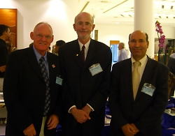
Prof.
Ian Williamson and Prof. Stig Enemark. |
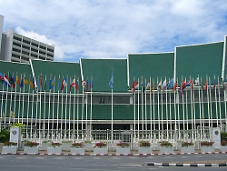
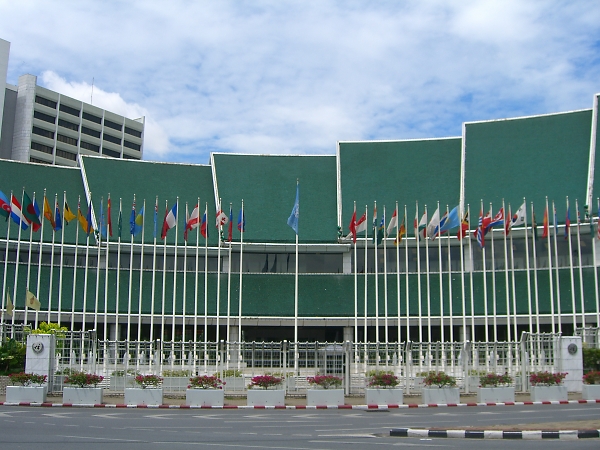
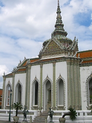
The UN headquarters in Bangkok.
|
| Pictures from Bangkok: |
|
 |
 |
 |
|
|