News in 2025

|
Two New Publications: The Land Administration Domain Model - an
overview, and LADM in the Classroom
March 2025
In 2012, the Land Administration Domain Model (LADM) was approved as
an official ISO standard. The LADM is a conceptual information model. It
describes and structures the core of a land administration: information
about people, about land and about people to land relationships.
LADM supports the establishment of a common view on land
administration across stakeholders involved. It stimulates the
development of software applications and accelerates the implementation
of proper land administration systems in support of sustainable
development. It supports interoperability in land administration. This
is a real need because land administration is mostly implemented under
distributed mandates with many stakeholders. The LADM provides an
internationally recognised model and vocabulary, which provide a solid
foundation for the development process. It covers the
‘information-related’ components of land administration, including those
over water and land, and elements above and below the surface of the
earth. This means in practice that the representation of all tenure
types is being supported – even when overlapping – and that 3D land
administration can be developed. There are now implementations of LADM
all over the world.

|
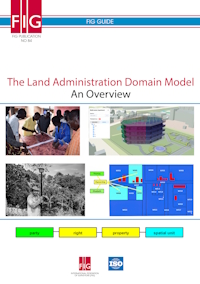
The Land Administration Domain Model - An Overview
FIG Publication 84 - FIG Guide
This publication gives an overview of LADM. The publication
is intended for anyone wishing to learn more about LADM: why is
it needed, how is it designed, what is it and what are the
benefits. This overview publication has an extended version
titled ‘LADM in the Classroom’ with a focus to training and
higher education.
Read more
Read the publication in PDF
|
 |
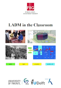
LADM in the Classroom
Extended version
This book introduces the reader to the Land Administration
Domain Model (LADM) through examples. It starts by giving the
reader an overview of core LADM concepts then proceeds to
illustrate how data about different people-to-land relationships
can be organized using LADM. Each example represents a scenario
that can be encountered in a Land Administration System. The
scenarios used in examples are derived from the Land
Administration System of the hypothetical town of Watteriver
together with its surrounding rural areas. Each case,
representing a particular scenario, is presented both
conceptually and using a simplified representation of a database
in which data are stored concretely. A demonstration dataset,
accompanying GIS project, and reusable slides are available
online - details in the book.
Read more
Read the book in pdf (20 MB)
|
Louise Friis-Hansen
March 2025


